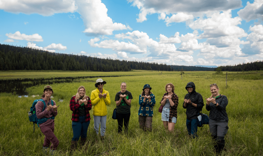
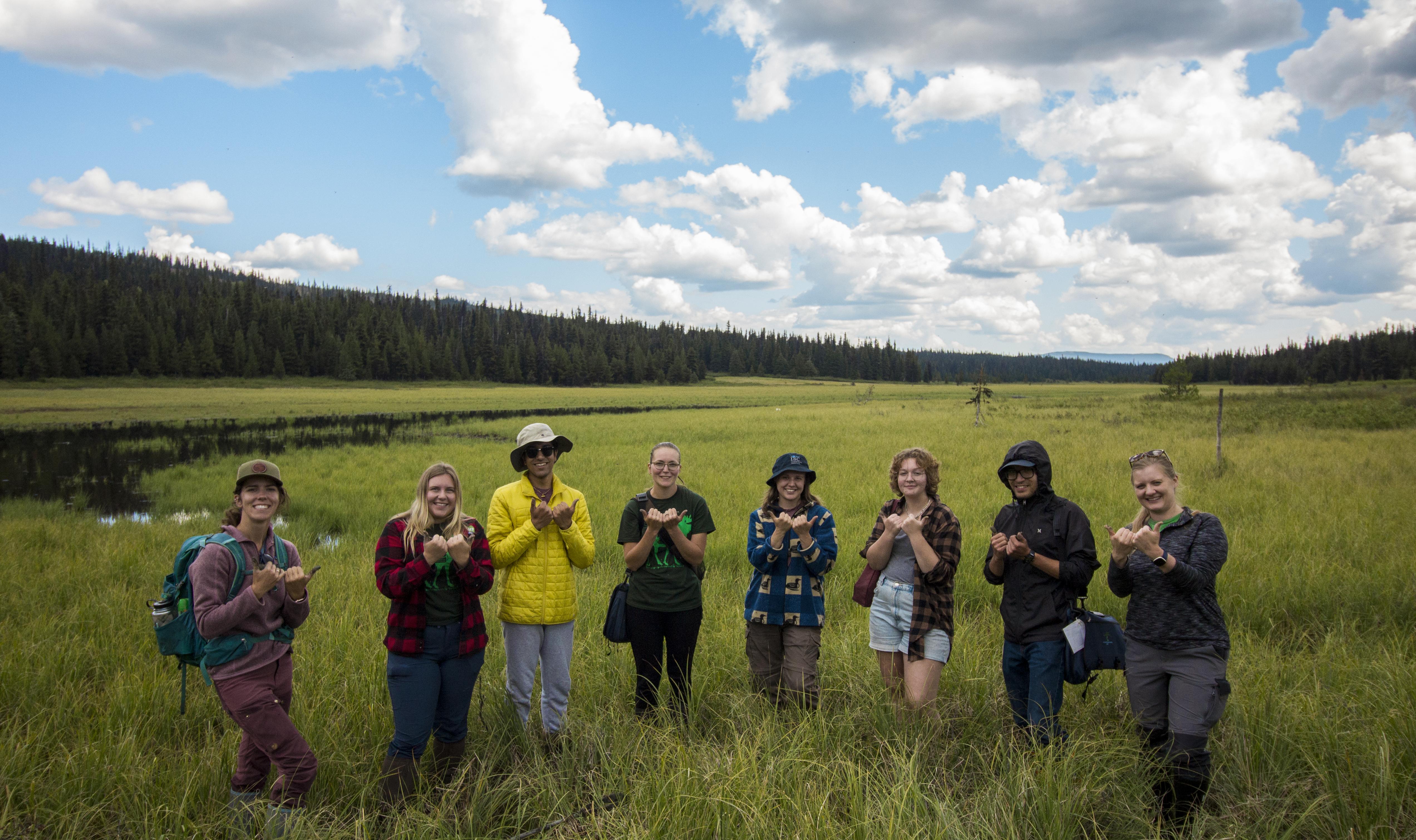
On July 27th – 29th, members of A Rocha Canada teamed up with the Wetlands Education Program (WEP) team to host the Houston Wetlandkeepers course! Interested consultants, residents, retirees, and volunteers joined us for a fun-filled, informative weekend focused on wetland health in the Bulkley-Nechako Region.
We began our weekend with guest speaker Audrey Faber joining us from the Northwest Invasive Plant Council to discuss one of the three ingredients of a wetland: plants! Audrey’s presentation provided a valuable overview of some of the common invasive plant species found in the region and the impacts that they can have on wetlands. We learned about valuable programs aimed at preventing further spread of invasives, like PlayCleanGo and CleanDrainDry, as well as programs like Report-A-Weed for reporting sightings. The overall message was: clean your vehicles, boats, and gear, report new sightings, and plant with care.
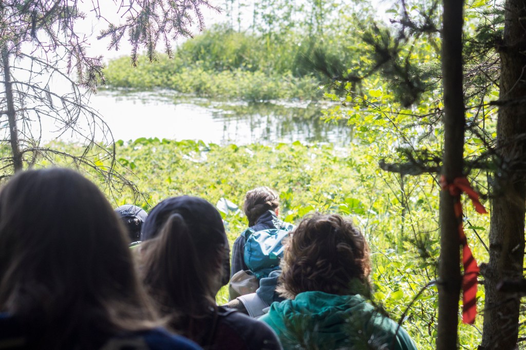
On Friday we carpooled to our first wetland site at the Vallee Lake Wetland, where participants got a chance to practice their plant identification and discuss the ways that changes in hydrology – water, the second ingredient of a wetland – can lead to changes in plant communities.
These changes in plant communities were a large focus of the rest of our day. Kyla Rushton, Wetland Assessment and Field Coordinator with BCWF, led us through the steps of taking Rapid Riparian Health Assessments; a user-friendly inventory of a wetland site that uses multiple questions about vegetation and land disturbance to score the overall health of the site.
Participants were invited to test out their new knowledge at the next site of the day: a small wetland along the banks of an oxbow river butting up against the Yellowhead Highway. This site faces significant disturbance, unlike the Vallee Lake Wetland, and offered a great opportunity to see how that disturbance impacts the wetland’s health.

We were also lucky enough to meet some of the area residents, along with several hundred of their young. The Western Toad is a SARA-listed species in Canada, with a range extending across much of western North America. Breeding typically occurs in the spring, with tiny toadlets dispersing between late July and mid-September.
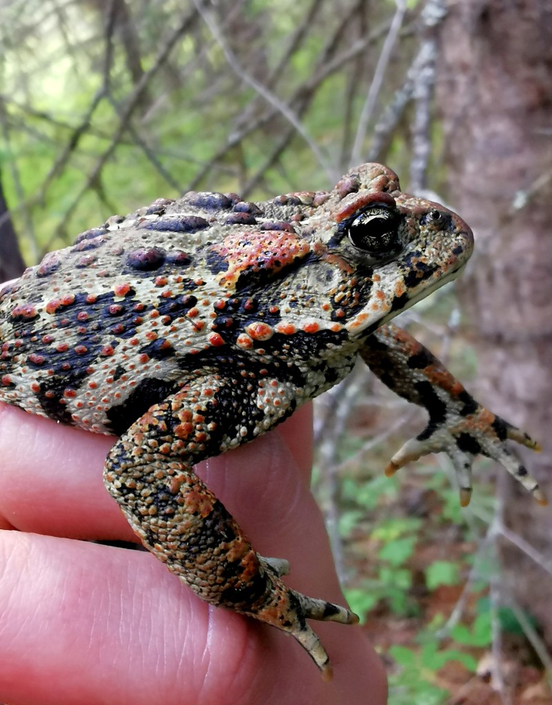
While several hundred toadlets may sound like a lot, it’s actually only a fraction of the numbers historically seen in toadlet dispersal – up to tens of thousands of toadlets at any one site! Population decline has been severe, with an estimated loss of 50% of the population over the past 200 years. Up to 30% of the population has been lost just in the past 18 years.
Local populations tend to return to the same location year after year for reproduction, which means protecting breeding sites from threats like development, invasive species, and pollution is a high priority for the species. The Western Toad relies on wetland habitats like this one for breeding, and it isn’t alone. Despite only making up around 7% of B.C.’s terrestrial landscape, wetlands provide important habitat for a third of British Columbia’s species of conservation concern.
After taking some time to appreciate the majesty of these local wetlands and their inhabitants, it was time to hop along.
Saturday morning began with a visit from Ian Sharpe from the Morice Watershed Monitoring Trust, who provided a bigger-picture view of what restoration along wetlands and riverscapes can look like. He defined different kinds of restoration and delved into hands-on restoration techniques – like using Beaver Dam Analogues and tree planting to slow water that would otherwise erode streambanks. Next, it was on to our third and final wetland site of the weekend to get our hands dirty!

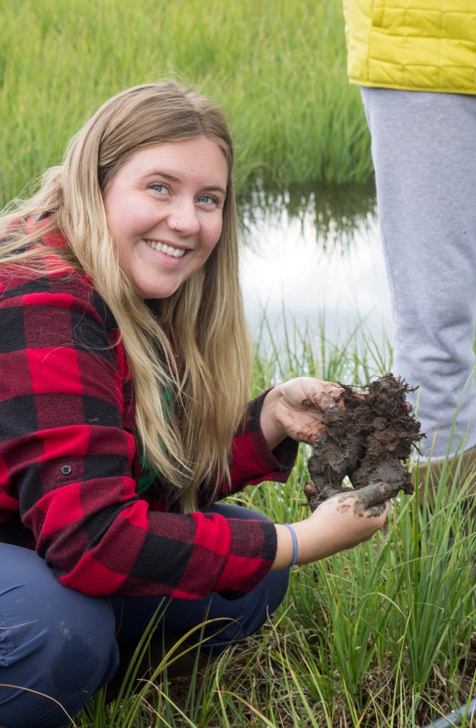
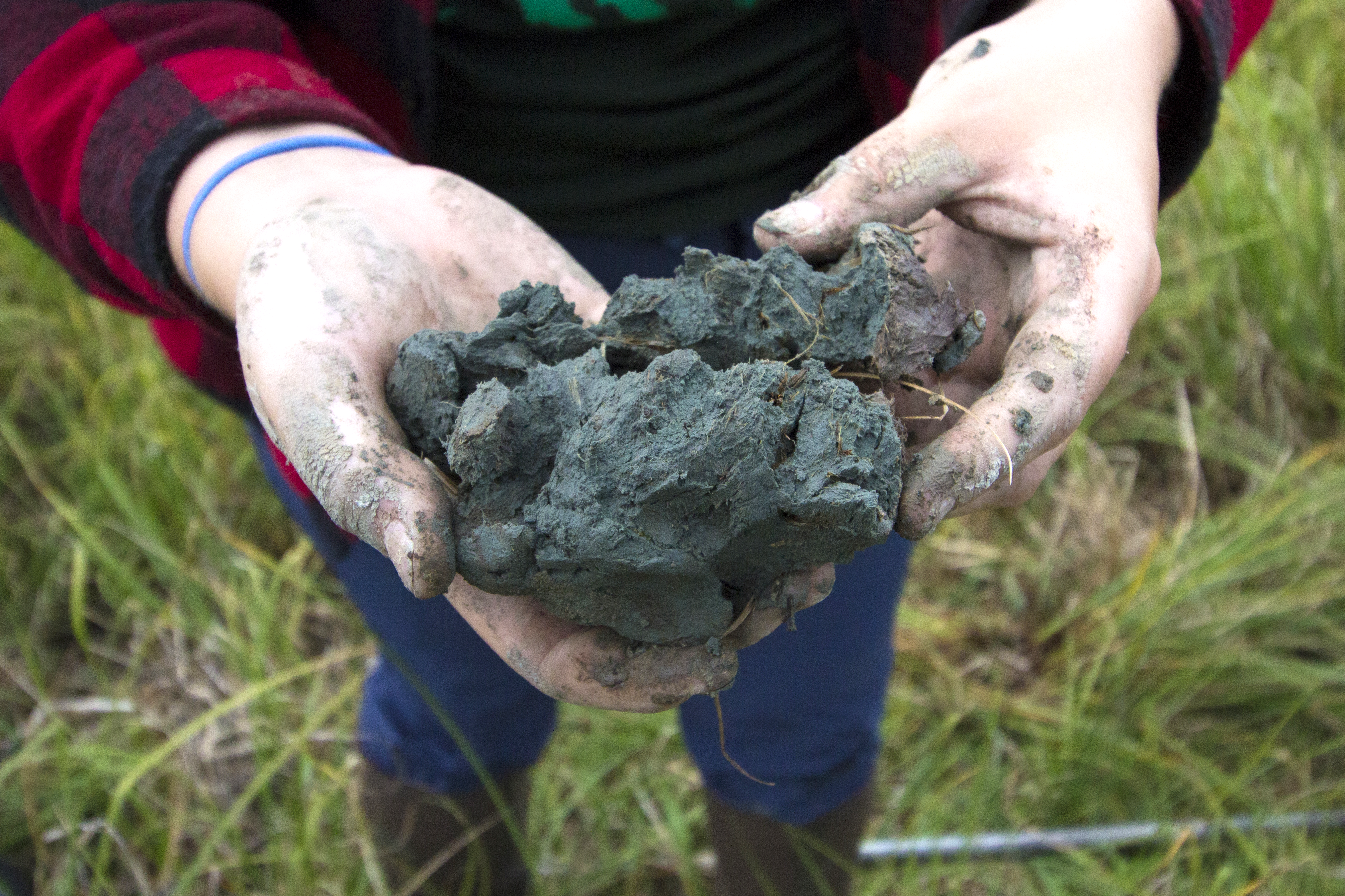
At the Dungate Meadows wetland, participants got a better look at the third and final ingredient to wetlands: soils! While identifying a wetland can seem simple to do just by looking at it, in many cases, it isn’t until looking below the surface of a wetland that it can be properly classified. For example, marshes and fens share many of the same characteristics above the ground, but have very different soil structure.
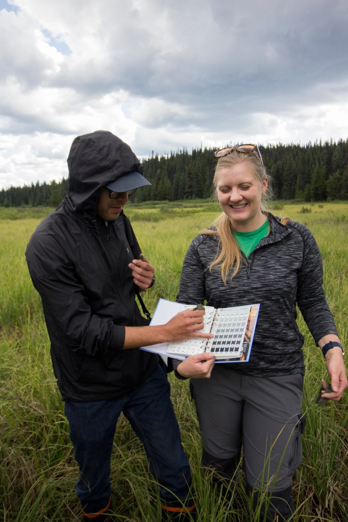
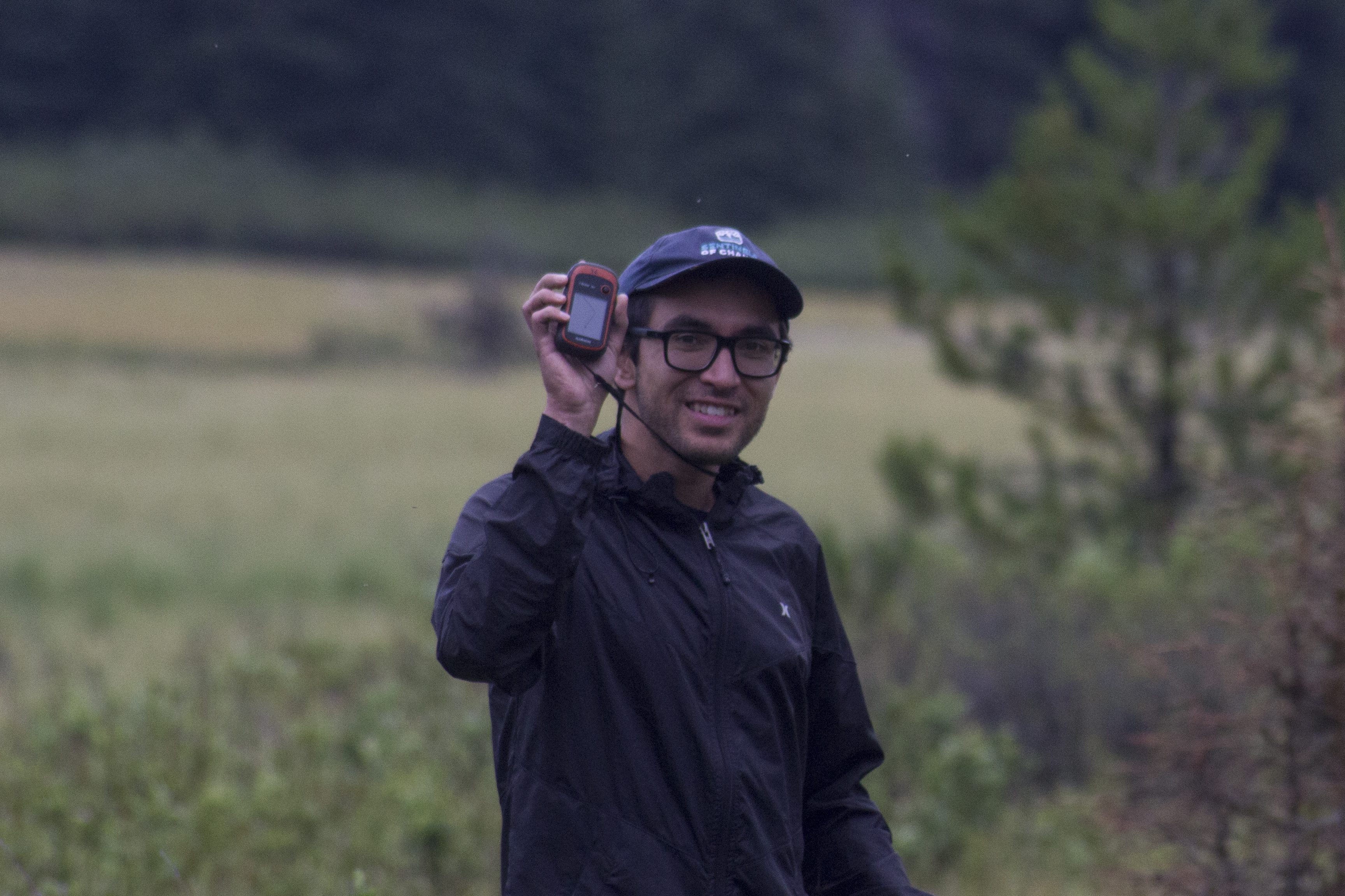
Using Munsell Soil Color Charts, participants were able to describe their wetland soils in detail, and get a thorough picture of where the wetland ended and the upland area began. Lastly, to finish off a busy weekend, the WEP team led participants through the use of GPS units and sent them out to map changes in vegetation communities (that might indicate changes in the soil and water!), human disturbance, and notable features. This is an indispensable skill for those looking to collect and send data to lawmakers and organizations regarding wetland health and protection.
To see more pictures from the workshop, click here!
Want to join us in the field? To learn about and register for upcoming webinars & virtual workshops, please visit WEP’s website.
This workshop was held in partnership with A Rocha Canada.
And would not have been possible without the generous financial support of the following contributors/ Ce projet a été réalisé avec l’appui financier de: